2017
SJ1463 : Offa's Dyke at Moel Dywyll
taken 7 years ago, near to Llangynhafal, Denbighshire/Sir Ddinbych, Wales
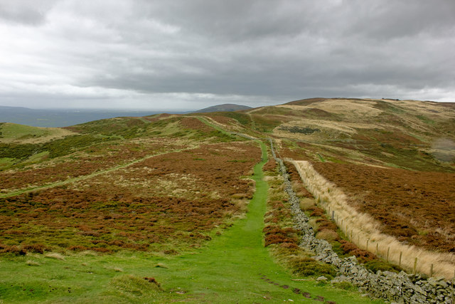
Offa's Dyke at Moel Dywyll
Looking northwest along Offa's Dyke Path at Moel Dywyll.
 Map © Crown Copyright")
TIP: Click the map for more Large scale mapping
- Grid Square
- SJ1463, 14 images (more nearby 🔍)
- Photographer
- Jeff Buck (more nearby)
- Date Taken
- Monday, 2 October, 2017 (more nearby)
- Submitted
- Sunday, 22 October, 2017
- Subject Location
-
OSGB36:
 SJ 147 638 [100m precision]
WGS84: 53:9.8739N 3:16.5599W - Camera Location
-
OSGB36: SJ 148 637
- View Direction
- North-northwest (about 337 degrees)