2017
SJ8937 : Hazy sky above the north-western edge of Downs Banks
taken 7 years ago, near to Barlaston, Staffordshire, England
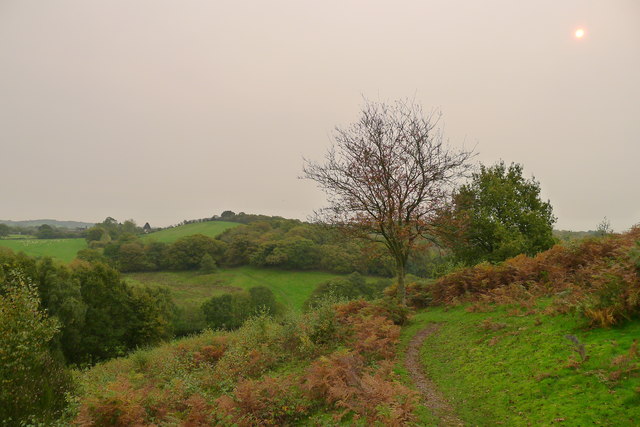
Hazy sky above the north-western edge of Downs Banks
The unusual reddish haze in the sky - which persisted for much of the day - was said to be due to the remnants of Hurricane Ophelia dragging in tropical air and dust from the Sahara.
 Map © Crown Copyright")
TIP: Click the map for more Large scale mapping
- Grid Square
- SJ8937, 12 images (more nearby 🔍)
- Photographer
- Tim Heaton (more nearby)
- Date Taken
- Monday, 16 October, 2017 (more nearby)
- Submitted
- Thursday, 26 October, 2017
- Subject Location
-
OSGB36:
 SJ 8989 3744 [10m precision]
WGS84: 52:56.0558N 2:9.1117W - Camera Location
-
OSGB36: SJ 8982 3748
- View Direction
- East-southeast (about 112 degrees)