2017
ST6601 : Cerne Abbas, path junction
taken 6 years ago, near to Cerne Abbas, Dorset, England
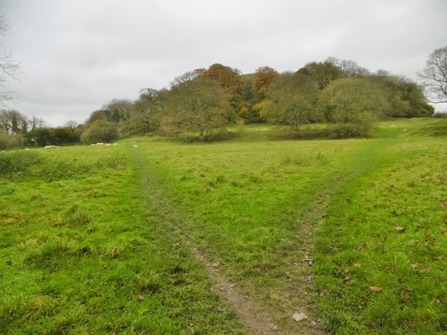
Cerne Abbas, path junction
Across sheep grazing, from Abbey Street to Giant Hill. Left, to the West side of the hill; right, to the East side.
 Map © Crown Copyright")
TIP: Click the map for more Large scale mapping
- Grid Square
- ST6601, 480 images (more nearby 🔍)
- Photographer
- Mike Faherty (more nearby)
- Date Taken
- Thursday, 26 October, 2017 (more nearby)
- Submitted
- Friday, 27 October, 2017
- Subject Location
-
OSGB36:
 ST 6657 0140 [10m precision]
WGS84: 50:48.6707N 2:28.5509W - Camera Location
-
OSGB36: ST 6657 0140
- View Direction
- Northeast (about 45 degrees)