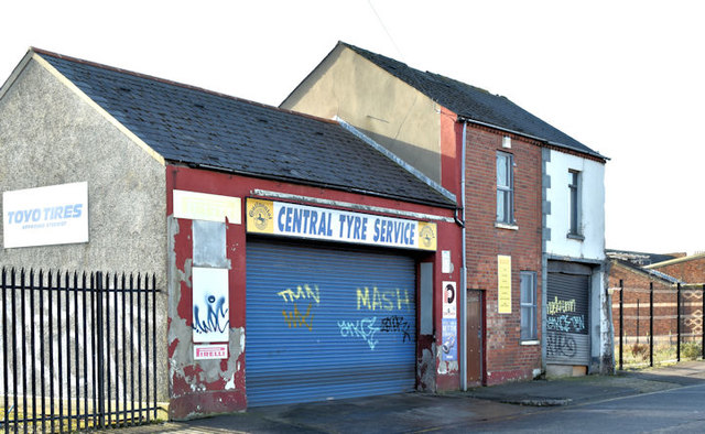
J3473 : Nos 16-20 Howard Street South, Belfast (October 2017)
taken 6 years ago, near to Belfast, Co Antrim, Northern Ireland
A vacant site, at the corner of the Ormeau Road and Howard Street South, currently (December 2017) used as a car park. It had the following planning permission (22 September 2009) Z/2005/2235/O Comprehensive mixed use development comprising ground floor retail units fronting Ormeau Road with offices above, 42 apartments fronting Donegall Pass and short stay multi storey car parking (amended scheme). 14 Howard Street South, Belfast, fronting Ormeau Road, Charlotte Street, Donegall Pass, Belfast, BT7 1BAZ/2005/2235/O Comprehensive mixed use development comprising ground floor retail units fronting Ormeau Road with offices above, 42 apartments fronting Donegall Pass and short stay multi storey car parking (amended scheme). 14 Howard Street South, Belfast, fronting Ormeau Road, Charlotte Street, Donegall Pass, Belfast, BT7 1BA. I have no connection with the property. I cannot enter into correspondence.
- Grid Square
- J3473, 885 images (more nearby 🔍)
- Photographer
- Albert Bridge (more nearby)
- Date Taken
- Sunday, 29 October, 2017 (more nearby)
- Submitted
- Sunday, 29 October, 2017
- Subject Location
-
Irish:
 J 340 733 [100m precision]
WGS84: 54:35.4532N 5:55.6105W - Camera Location
-
Irish: J 340 734
- View Direction
- Southwest (about 225 degrees)