2017
TL2435 : Farm track and bridle way
taken 6 years ago, near to Norton, Hertfordshire, England
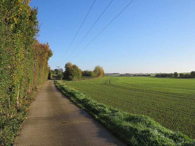
Farm track and bridle way
This track leads from the A507 to a nearby farm and, eventually, to Ashwell. Low sunlight intensified colours on a late-October morning.
 Map © Crown Copyright")
TIP: Click the map for more Large scale mapping
- Grid Square
- TL2435, 10 images (more nearby 🔍)
- Photographer
- John Sutton (more nearby)
- Date Taken
- Friday, 27 October, 2017 (more nearby)
- Submitted
- Friday, 3 November, 2017
- Subject Location
-
OSGB36:
 TL 2447 3519 [10m precision]
WGS84: 52:0.0724N 0:11.2948W - Camera Location
-
OSGB36: TL 2415 3501
- View Direction
- East-northeast (about 67 degrees)