2017
SN7318 : The A4069 Black Mountain Pass road from Brynamman to Llangadog
taken 6 years ago, 3 km from Capel Gwynfe, Carmarthenshire/Sir Gaerfyrddin, Wales
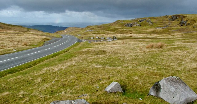
The A4069 Black Mountain Pass road from Brynamman to Llangadog
A section of the Black Mountain Pass road, the A4069, running North from Brynamman in to the Brecon Beacons National park, and near to the old lime workings below Foel Fawr.
 Map © Crown Copyright")
TIP: Click the map for more Large scale mapping
- Grid Square
- SN7318, 35 images (more nearby 🔍)
- Photographer
- Peter Evans (more nearby)
- Date Taken
- Sunday, 5 November, 2017 (more nearby)
- Submitted
- Sunday, 5 November, 2017
- Subject Location
-
OSGB36:
 SN 732 188 [100m precision]
WGS84: 51:51.2225N 3:50.5306W - Camera Location
-
OSGB36: SN 732 187
- View Direction
- North-northwest (about 337 degrees)