2017
TL2934 : Lodge Farm (as mapped)
taken 6 years ago, near to Wallington, Hertfordshire, England
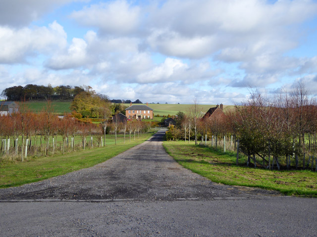
Lodge Farm (as mapped)
Cottages half hidden on the right. Different parts of this farmstead may have different names now.
 Map © Crown Copyright")
TIP: Click the map for more Large scale mapping
- Grid Square
- TL2934, 21 images (more nearby 🔍)
- Photographer
- Robin Webster (more nearby)
- Date Taken
- Sunday, 5 November, 2017 (more nearby)
- Submitted
- Monday, 6 November, 2017
- Subject Location
-
OSGB36:
 TL 2993 3461 [10m precision]
WGS84: 51:59.6847N 0:6.5386W - Camera Location
-
OSGB36: TL 29704 34512
- View Direction
- East-northeast (about 67 degrees)