2017
SE2061 : Nidderdale
taken 6 years ago, near to Dacre Banks, North Yorkshire, England
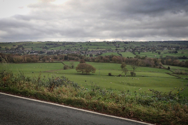
Nidderdale
 Map © Crown Copyright")
TIP: Click the map for more Large scale mapping
- Grid Square
- SE2061, 22 images (more nearby 🔍)
- Photographer
- Mick Garratt (more nearby)
- Date Taken
- Friday, 20 October, 2017 (more nearby)
- Submitted
- Monday, 6 November, 2017
- Subject Location
-
OSGB36:
 SE 2045 6134 [10m precision]
WGS84: 54:2.8575N 1:41.3500W - Camera Location
-
OSGB36: SE 2045 6134
- View Direction
- West-southwest (about 247 degrees)