2017
O2317 : The Cookstown River near Enniskerry
taken 6 years ago, near to Enniskerry, Co Wicklow, Ireland
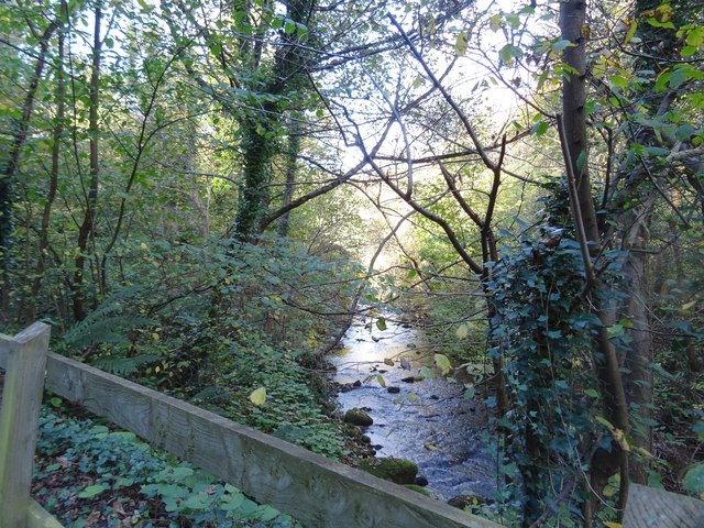
The Cookstown River near Enniskerry
The Cookstown River has cut a gorge into the landscape between Enniskerry and Bray, providing a useful route for the busy R117 road that connects South Dublin with the Powerscourt Estate.
Loading map... (JavaScript required)
- Grid Square
- O2317, 2 images (more nearby 🔍)
- Photographer
- David Sands (more nearby)
- Date Taken
- Saturday, 4 November, 2017 (more nearby)
- Submitted
- Wednesday, 8 November, 2017
- Subject Location
-
Irish:
 O 232 172 [100m precision]
WGS84: 53:11.4802N 6:9.4324W - Camera Location
-
Irish: O 232 171
- View Direction
- North-northwest (about 337 degrees)