2017
NZ5604 : Field on north-east side of B1257
taken 6 years ago, near to Great Broughton, North Yorkshire, England
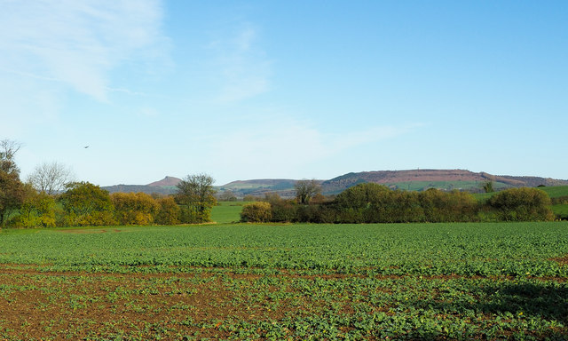
Field on north-east side of B1257
A leafy crop growing in a field with Roseberry Topping and Commondale Moor in the distance.
 Map © Crown Copyright")
TIP: Click the map for more Large scale mapping
- Grid Square
- NZ5604, 9 images (more nearby 🔍)
- Photographer
- Trevor Littlewood (more nearby)
- Date Taken
- Wednesday, 8 November, 2017 (more nearby)
- Submitted
- Wednesday, 8 November, 2017
- Subject Location
-
OSGB36:
 NZ 561 048 [100m precision]
WGS84: 54:26.1745N 1:8.1413W - Camera Location
-
OSGB36: NZ 561 047
- View Direction
- North-northeast (about 22 degrees)