2017
TF0913 : Wilsthorpe
taken 6 years ago, near to Wilsthorpe, Lincolnshire, England
This is 1 of 5 images, with title Wilsthorpe in this square
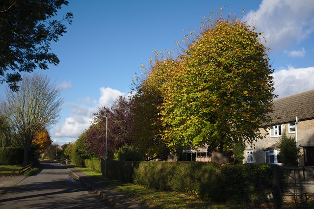
Wilsthorpe
A 290 mile route devised to raise funds for Macmillan Cancer Support to which all proceeds are donated. It runs along sea banks and river banks, from Boston, across the Lincolnshire fens via Stamford, eventually to Abbotsbury on the Dorset Coast. From the fens it follows, as near as possible, the course of the oolitic limestone belt, called 'Cotswold' stone in that area, but found in slightly varying form from South Yorkshire to Dorset.
The Way provides a link with the Viking Way at Oakham, the Thames Path National Trail near Thames Head and with the South West Coast Path National Trail at the finish. It also has a Macmillan Way West (Link ) from Castle Cary to Barnstaple.
See other images of Macmillan Way
The Way provides a link with the Viking Way at Oakham, the Thames Path National Trail near Thames Head and with the South West Coast Path National Trail at the finish. It also has a Macmillan Way West (Link ) from Castle Cary to Barnstaple.
See other images of Macmillan Way
 Map © Crown Copyright")
TIP: Click the map for more Large scale mapping
- Grid Square
- TF0913, 138 images (more nearby 🔍)
- Photographer
- Bob Harvey (more nearby)
- Date Taken
- Sunday, 5 November, 2017 (more nearby)
- Submitted
- Friday, 10 November, 2017
- Subject Location
-
OSGB36:
 TF 0917 1373 [10m precision]
WGS84: 52:42.6139N 0:23.1302W - Camera Location
-
OSGB36: TF 09184 13689
- View Direction
- NORTH (about 0 degrees)