2017
NT1389 : Netherbeath Road, Kingseat
taken 6 years ago, near to Kingseat, Fife, Scotland
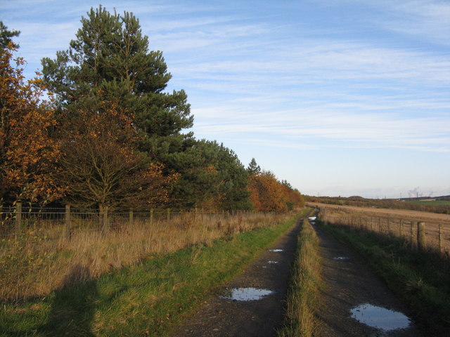
Netherbeath Road, Kingseat
On old road, present at the end of the 19thC, but not marked on my 1998 OS Landranger, where the whole area is labelled as 'Former Opencast Workings'. Now the land has been reinstated the road is back, but only for farm and path use.
 Map © Crown Copyright")
TIP: Click the map for more Large scale mapping
- Grid Square
- NT1389, 19 images (more nearby 🔍)
- Photographer
- M J Richardson (more nearby)
- Date Taken
- Friday, 10 November, 2017 (more nearby)
- Submitted
- Saturday, 11 November, 2017
- Subject Location
-
OSGB36:
 NT 1311 8938 [10m precision]
WGS84: 56:5.3572N 3:23.8801W - Camera Location
-
OSGB36: NT 1302 8935
- View Direction
- East-northeast (about 67 degrees)