2017

SD5805 : Yellow entrance gate, Travis Perkins, Wigan

taken 7 years ago, near to Wigan, England

Yellow entrance gate, Travis Perkins, Wigan
Opposite the A49 Queen Street.
Travis Perkins

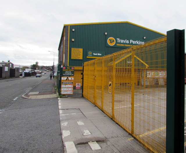
Travis Perkins have been supplying building materials to the trade for over 200 years and are now one of the largest suppliers to the UK’s building and construction industry with a national network of more than 600 branches.
Website: LinkExternal link

The A49

The A49 is a major road that runs for 158 miles from Bamber Bridge, near Preston, to Ross-on-Wye.

The section north of Warrington is mostly a non-primary road for local traffic, having been largely superseded by the M6 motorway. South of Warrington, the route traverses the Welsh Marches region LinkExternal link , following the hills along the English/Welsh borders although it never actually enters Wales; usually running around ten miles away from the border as it winds its way through Cheshire, Shropshire and Herefordshire although it comes within a couple of miles near Whitchurch. The road is all primary but mainly single carriageway, which means that traffic queues sometimes build up behind tractors or slow-moving goods vehicles. The stretch between the A5 at Shrewsbury and Ross-on-Wye is a trunk road, maintained by the national Highways England.
LinkExternal link SABRE


Creative Commons Licence [Some Rights Reserved]   © Copyright Jaggery and licensed for reuse under this Creative Commons Licence.
Geographical Context: Business, Retail, Services Roads, Road transport Colour: Yellow Company: Travis Perkins other tags: Yellow Gate Travis Perkins Click a tag, to view other nearby images.
This photo is linked from: Automatic Clusters: · Entrance [33] · Queen Street [15] Other Photos: · Hanson Wigan Concrete site, Queen Street, Wigan ·
1:50,000 Modern Day Landranger(TM) Map © Crown Copyright
+
+
1:50,000 Modern Day Landranger(TM) Map © Crown Copyright
TIP: Click the map for more Large scale mapping
Grid Square
SD5805, 835 images   (more nearby 🔍)
Photographer
Jaggery   (more nearby)
Date Taken
Saturday, 23 September, 2017   (more nearby)
Submitted
Wednesday, 15 November, 2017
Subject Location
OSGB36: geotagged! SD 5810 0533 [10m precision]
WGS84: 53:32.5758N 2:38.0256W
Camera Location
OSGB36: geotagged! SD 5810 0534
View Direction
Southwest (about 225 degrees)
Clickable map
+
NW N NE
W Go E
SW S SE
Image Type (about): geograph 
This page has been viewed about 30 times
You are not logged in login | register