2017
SP8267 : Derelict airfield building
taken 6 years ago, near to Sywell, North Northamptonshire, England
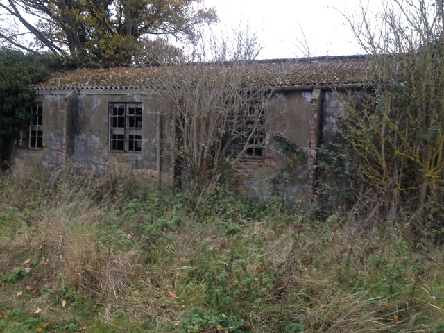
Derelict airfield building
 Map © Crown Copyright")
TIP: Click the map for more Large scale mapping
- Grid Square
- SP8267, 65 images (more nearby 🔍)
- Photographer
- Dave Thompson (more nearby)
- Date Taken
- Thursday, 16 November, 2017 (more nearby)
- Submitted
- Thursday, 16 November, 2017
- Subject Location
-
OSGB36:
 SP 8251 6742 [10m precision]
WGS84: 52:17.9231N 0:47.4888W - Camera Location
-
OSGB36: SP 82515 67422
- View Direction
- North-northwest (about 337 degrees)