2017
NO7397 : Denwood Belt (3) on Crathes Estate
taken 6 years ago, near to The Neuk, Aberdeenshire, Scotland
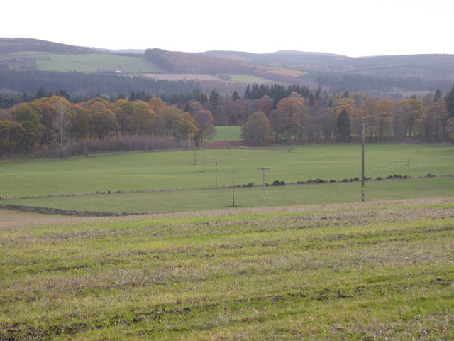
Denwood Belt (3) on Crathes Estate
From minor road past Harestone.
 Map © Crown Copyright")
TIP: Click the map for more Large scale mapping
- Grid Square
- NO7397, 61 images (more nearby 🔍)
- Photographer
- Stanley Howe (more nearby)
- Date Taken
- Sunday, 19 November, 2017 (more nearby)
- Submitted
- Sunday, 19 November, 2017
- Subject Location
-
OSGB36:
 NO 7377 9716 [10m precision]
WGS84: 57:3.8837N 2:26.0494W - Camera Location
-
OSGB36: NO 7376 9781
- View Direction
- SOUTH (about 180 degrees)