2017
ST5138 : Toposcope on Glastonbury Tor
taken 6 years ago, near to Edgarley, Somerset, England
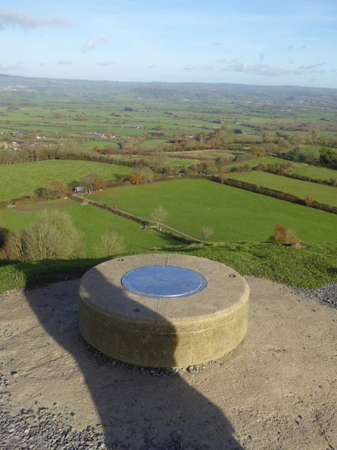
Toposcope on Glastonbury Tor
Looking towards Stone Down, where there are some rectangular fields
 Map © Crown Copyright")
TIP: Click the map for more Large scale mapping
- Grid Square
- ST5138, 370 images (more nearby 🔍)
- Photographer
- David Smith (more nearby)
- Date Taken
- Friday, 17 November, 2017 (more nearby)
- Submitted
- Tuesday, 21 November, 2017
- Subject Location
-
OSGB36:
 ST 5124 3862 [10m precision]
WGS84: 51:8.6853N 2:41.9053W - Camera Location
-
OSGB36: ST 5122 3861
- View Direction
- East-northeast (about 67 degrees)