2017
TF3690 : River Lud and Louth Navigation from Alvingham to Louth: aerial 2017
taken 6 years ago, near to Alvingham, Lincolnshire, England
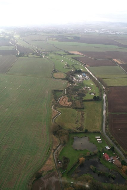
River Lud and Louth Navigation from Alvingham to Louth: aerial 2017
 Map © Crown Copyright")
TIP: Click the map for more Large scale mapping
- Grid Square
- TF3690, 46 images (more nearby 🔍)
- Photographer
- Chris (more nearby)
- Date Taken
- Sunday, 3 December, 2017 (more nearby)
- Submitted
- Monday, 4 December, 2017
- Subject Location
-
OSGB36:
 TF 3605 9025 [10m precision]
WGS84: 53:23.4939N 0:2.6648E - Camera Location
-
OSGB36: TF 3685 9086
- View Direction
- Southwest (about 225 degrees)