2017
SE0240 : Stone trough Holme House Lane
taken 7 years ago, near to Laycock, Bradford, England
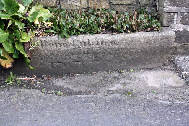
Stone trough Holme House Lane
The trough, now used for growing flowers, is inscribed with date 1797 and 'pro bono publico' (for the public good).
 Map © Crown Copyright")
TIP: Click the map for more Large scale mapping
- Grid Square
- SE0240, 90 images (more nearby 🔍)
- Photographer
- Roger Templeman (more nearby)
- Date Taken
- Tuesday, 17 October, 2017 (more nearby)
- Submitted
- Sunday, 10 December, 2017
- Subject Location
-
OSGB36:
 SE 0285 4019 [10m precision]
WGS84: 53:51.4757N 1:57.4892W - Camera Location
-
OSGB36: SE 0285 4019
- View Direction
- EAST (about 90 degrees)