2017
NT3236 : Path from the railway, Innerleithen
taken 6 years ago, near to Innerleithen, Scottish Borders, Scotland
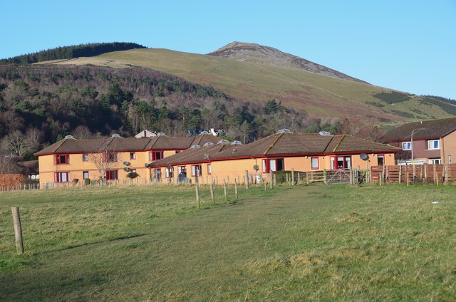
Path from the railway, Innerleithen
A path across the field corner from the railway path to Buchan Place near the health centre. Lee Pen is the summit on the skyline.
 Map © Crown Copyright")
TIP: Click the map for more Large scale mapping
- Grid Square
- NT3236, 168 images (more nearby 🔍)
- Photographer
- Jim Barton (more nearby)
- Date Taken
- Friday, 8 December, 2017 (more nearby)
- Submitted
- Sunday, 10 December, 2017
- Subject Location
-
OSGB36:
 NT 3292 3626 [10m precision]
WGS84: 55:36.9173N 3:3.9931W - Camera Location
-
OSGB36: NT 3292 3622
- View Direction
- NORTH (about 0 degrees)