2017
NT2338 : Open hillside, Cademuir
taken 6 years ago, near to Kings Muir, Scottish Borders, Scotland
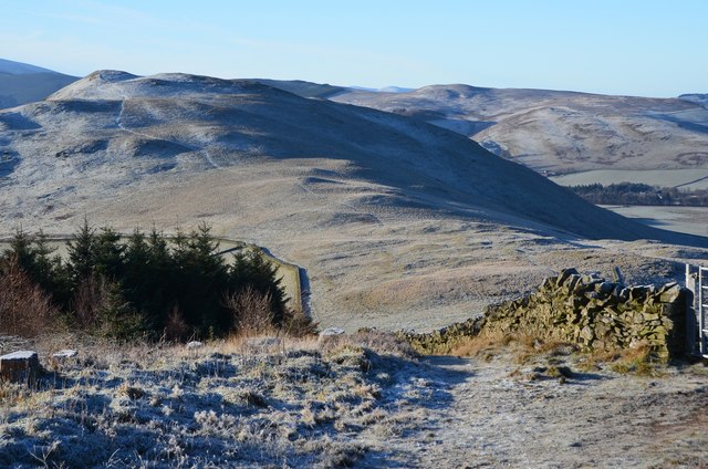
Open hillside, Cademuir
Looking from the forest boundary to the open hillside and the ridge with its two hill forts.
 Map © Crown Copyright")
TIP: Click the map for more Large scale mapping
- Grid Square
- NT2338, 74 images (more nearby 🔍)
- Photographer
- Jim Barton (more nearby)
- Date Taken
- Sunday, 10 December, 2017 (more nearby)
- Submitted
- Thursday, 14 December, 2017
- Subject Location
-
OSGB36:
 NT 2393 3809 [10m precision]
WGS84: 55:37.8242N 3:12.5852W - Camera Location
-
OSGB36: NT 2398 3811
- View Direction
- West-southwest (about 247 degrees)