2017
NT6817 : Birkenside
taken 6 years ago, near to Mossburnford, Scottish Borders, Scotland
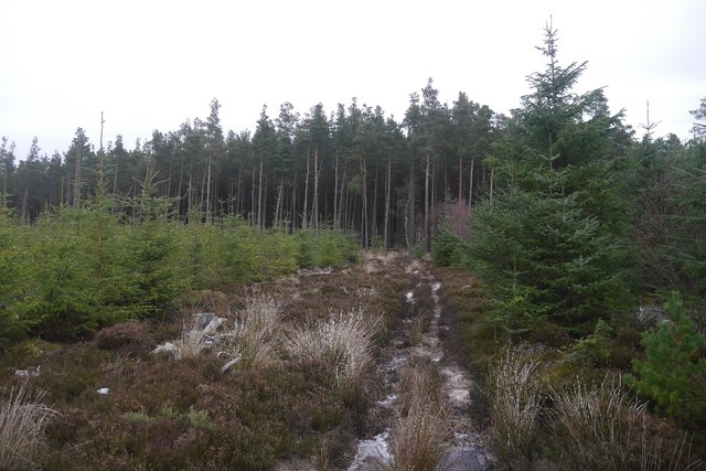
Birkenside
Path towards some surviving older trees. The path network here is very different to that shown by the Ordnance Survey.
 Map © Crown Copyright")
TIP: Click the map for more Large scale mapping
- Grid Square
- NT6817, 5 images (more nearby 🔍)
- Photographer
- Richard Webb (more nearby)
- Date Taken
- Saturday, 9 December, 2017 (more nearby)
- Submitted
- Thursday, 14 December, 2017
- Subject Location
-
OSGB36:
 NT 6819 1702 [10m precision]
WGS84: 55:26.7605N 2:30.2646W - Camera Location
-
OSGB36: NT 6818 1701
- View Direction
- North-northeast (about 22 degrees)