2017
SP4235 : Tadmarton Road, looking southeast
taken 6 years ago, near to Bloxham, Oxfordshire, England
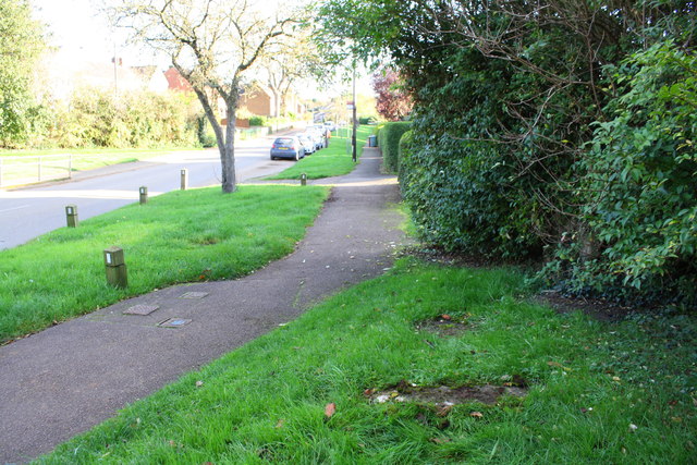
Tadmarton Road, looking southeast
There is an OS benchmark SP4235 : Benchmark on culvert beside Tadmarton Road on the concrete slab in the foreground: this was at the end of a culvert for an open ditch which appears to have been piped
 Map © Crown Copyright")
TIP: Click the map for more Large scale mapping
- Grid Square
- SP4235, 56 images (more nearby 🔍)
- Photographer
- Roger Templeman (more nearby)
- Date Taken
- Friday, 27 October, 2017 (more nearby)
- Submitted
- Saturday, 16 December, 2017
- Subject Location
-
OSGB36:
 SP 4239 3580 [10m precision]
WGS84: 52:1.1406N 1:23.0214W - Camera Location
-
OSGB36: SP 4235 3585
- View Direction
- Southeast (about 135 degrees)