2017
SE2119 : Calder Valley Greenway east of Church Lane
taken 7 years ago, near to Ravensthorpe, Kirklees, England
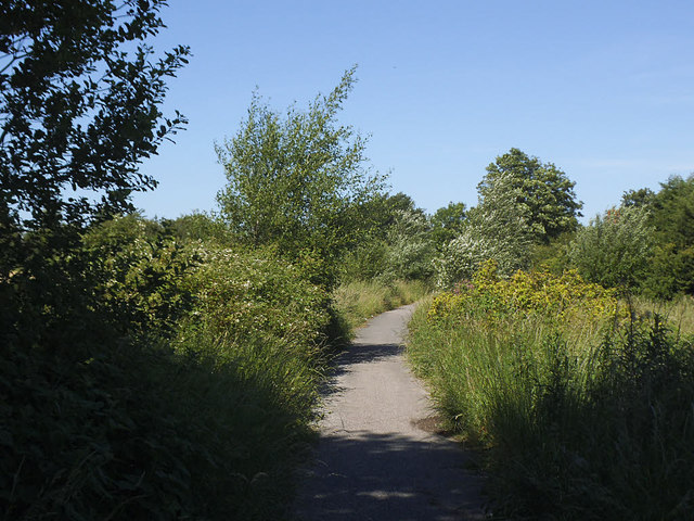
Calder Valley Greenway east of Church Lane
The greenway uses part of the course of a former railway from Mirfield to Heckmondwike, for a few hundred metres from Church Lane. See also SE2119 : Entrance to the Calder Valley Greenway on Church Lane.
 Map © Crown Copyright")
TIP: Click the map for more Large scale mapping
- Grid Square
- SE2119, 169 images (more nearby 🔍)
- Photographer
- Stephen Craven (more nearby)
- Date Taken
- Saturday, 17 June, 2017 (more nearby)
- Submitted
- Sunday, 17 December, 2017
- Subject Location
-
OSGB36:
 SE 214 199 [100m precision]
WGS84: 53:40.5404N 1:40.6244W - Camera Location
-
OSGB36: SE 214 199
- View Direction
- North-northeast (about 22 degrees)