2017
SE0136 : Houses on Upper Marsh Lane
taken 6 years ago, near to Stanbury, Bradford, England
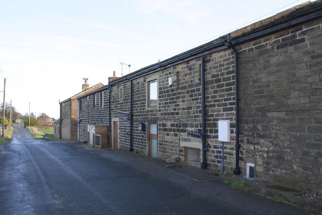
Houses on Upper Marsh Lane
There is an OS benchmark SE0136 : Benchmark on former door jamb of New House Farm Barn on the stone jamb of the former doorway in the middle of the image, right of a letter box carrying the 'New House Farm Barn' name of this barn conversion
 Map © Crown Copyright")
TIP: Click the map for more Large scale mapping
- Grid Square
- SE0136, 67 images (more nearby 🔍)
- Photographer
- Roger Templeman (more nearby)
- Date Taken
- Friday, 10 November, 2017 (more nearby)
- Submitted
- Thursday, 21 December, 2017
- Subject Location
-
OSGB36:
 SE 0199 3606 [10m precision]
WGS84: 53:49.2487N 1:58.2752W - Camera Location
-
OSGB36: SE 0196 3606
- View Direction
- EAST (about 90 degrees)