2017
SP3052 : Fog on the Fosse Way
taken 6 years ago, near to Combrook, Warwickshire, England
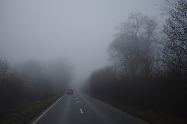
Fog on the Fosse Way
A Roman road that joined Exeter with Lincoln. It also passed through Leicester, Cirencester and Bath.
It was remarkably straight, and many modern roads follow its route. It had junctions with Watling Street and Ermine Street amongst others.
It was probably built before 180 AD.
See other images of Fosse Way
It was remarkably straight, and many modern roads follow its route. It had junctions with Watling Street and Ermine Street amongst others.
It was probably built before 180 AD.
See other images of Fosse Way
 Map © Crown Copyright")
TIP: Click the map for more Large scale mapping
- Grid Square
- SP3052, 24 images (more nearby 🔍)
- Photographer
- Bob Harvey (more nearby)
- Date Taken
- Monday, 18 December, 2017 (more nearby)
- Submitted
- Saturday, 23 December, 2017
- Subject Location
-
OSGB36:
 SP 3033 5283 [10m precision]
WGS84: 52:10.3741N 1:33.4749W - Camera Location
-
OSGB36: SP 30330 52813
- View Direction
- North-northeast (about 22 degrees)