2007
NJ7653 : Upper Cotburn
taken 17 years ago, near to Fintry, Aberdeenshire, Scotland
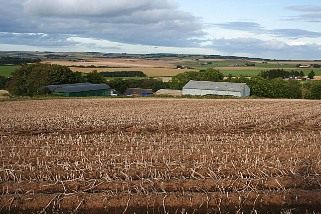
Upper Cotburn
The field in the foreground holds tatties (potatoes), the shaws of which have been killed off chemically. This encourages the tubers to grow, and disposes of the vegetation which would be a nuisance when digging the tatties.
 Map © Crown Copyright")
TIP: Click the map for more Large scale mapping
- Grid Square
- NJ7653, 6 images (more nearby 🔍)
- Photographer
- Anne Burgess (more nearby)
- Date Taken
- Friday, 21 September, 2007 (more nearby)
- Submitted
- Saturday, 22 September, 2007
- Subject Location
-
OSGB36:
 NJ 766 539 [100m precision]
WGS84: 57:34.4732N 2:23.5336W - Camera Location
-
OSGB36: NJ 765 537
- View Direction
- Northeast (about 45 degrees)