2017
TQ0013 : Cats Croft/Further Bone Field
taken 6 years ago, near to Bury, West Sussex, England
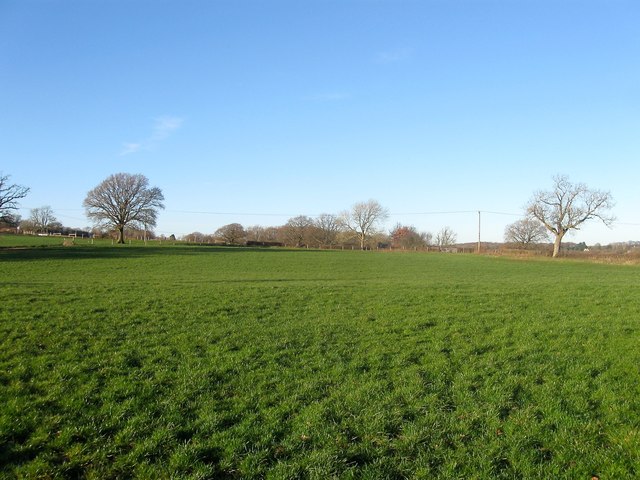
Cats Croft/Further Bone Field
The name of the fields according to Bury's 1839 tithe map that have been combined to form a larger unit. Further Bone Field was in the foreground to the south whilst Cats Croft was further up the slope on the northern side adjacent to TQ0014 : Half Brook.
 Map © Crown Copyright")
TIP: Click the map for more Large scale mapping
- Grid Square
- TQ0013, 43 images (more nearby 🔍)
- Photographer
- Simon Carey (more nearby)
- Date Taken
- Thursday, 28 December, 2017 (more nearby)
- Submitted
- Sunday, 31 December, 2017
- Subject Location
-
OSGB36:
 TQ 0079 1398 [10m precision]
WGS84: 50:54.9895N 0:34.0547W - Camera Location
-
OSGB36: TQ 0084 1392
- View Direction
- Northwest (about 315 degrees)