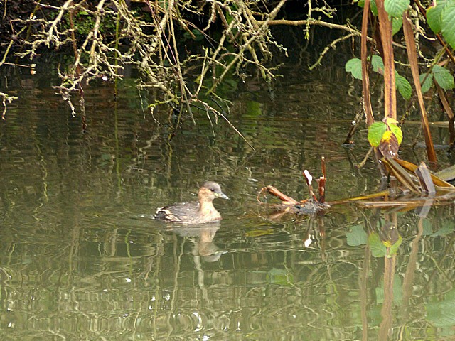
SK4834 : Dabchick, Erewash Canal
taken 6 years ago, near to Long Eaton, Derbyshire, England
The Erewash Canal was opened in 1779 to provide an outlet for collieries on the Nottinghamshire/Derbyshire border. It descends 109 feet from its northern end at Langley Mill to the River Trent at Trent Lock, a distance of nearly 12 miles. Although initially highly profitable, competition from other canals and the railways began to eat into trade in the 19th century. In 1932 it passed to the Grand Union Canal Company and was nationalised in 1947. Narrowboat carrying ceased in 1963, but the waterway continued to be maintained to provide a water supply for industry in the lower Erewash valley. This meant that it was relatively easy to restore as a cruising waterway and since 1983 pleasure boaters have been able to use the entire length of the canal.
 Map © Crown Copyright")
- Grid Square
- SK4834, 199 images (more nearby 🔍)
- Photographer
- Alan Murray-Rust (more nearby)
- Date Taken
- Monday, 1 January, 2018 (more nearby)
- Submitted
- Thursday, 4 January, 2018
- Subject Location
-
OSGB36:
 SK 4871 3448 [10m precision]
WGS84: 52:54.3333N 1:16.6333W - Camera Location
-
OSGB36: SK 4873 3448
- View Direction
- WEST (about 270 degrees)