2018
TF4193 : South Somercotes: aerial 2018
taken 6 years ago, near to South Somercotes, Lincolnshire, England
This is 1 of 3 images, with title starting with South Somercotes: aerial in this square
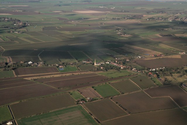
South Somercotes: aerial 2018
 Map © Crown Copyright")
TIP: Click the map for more Large scale mapping
- Grid Square
- TF4193, 52 images (more nearby 🔍)
- Photographer
- Chris (more nearby)
- Date Taken
- Sunday, 7 January, 2018 (more nearby)
- Submitted
- Sunday, 7 January, 2018
- Subject Location
-
OSGB36:
 TF 414 938 [100m precision]
WGS84: 53:25.3595N 0:7.6488E - Camera Location
-
OSGB36: TF 425 912
- View Direction
- North-northwest (about 337 degrees)