2017
SX8591 : Lane from Holcombe Barton Corner
taken 6 years ago, near to Longdown, Devon, England
This is 1 of 2 images, with title Lane from Holcombe Barton Corner in this square
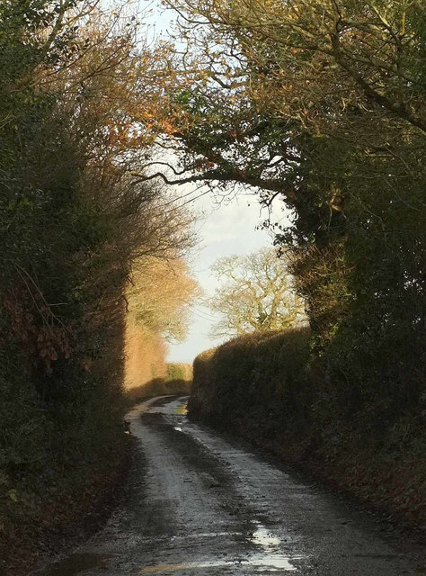
Lane from Holcombe Barton Corner
Seen from the junction; the lane is followed by the parish boundary between Holcombe Burnell (right) and Whitestone (left).
 Map © Crown Copyright")
TIP: Click the map for more Large scale mapping
- Grid Square
- SX8591, 38 images (more nearby 🔍)
- Photographer
- Derek Harper (more nearby)
- Date Taken
- Thursday, 7 December, 2017 (more nearby)
- Submitted
- Wednesday, 10 January, 2018
- Subject Location
-
OSGB36:
 SX 8531 9182 [10m precision]
WGS84: 50:42.8796N 3:37.5531W - Camera Location
-
OSGB36: SX 8526 9179
- View Direction
- East-northeast (about 67 degrees)