2018
NT3255 : Moorland and plantation, Blackburn Strip
taken 6 years ago, 4 km S of Temple, Midlothian, Scotland
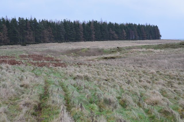
Moorland and plantation, Blackburn Strip
Grassy moorland and a strip wood to the east of Gladhouse Reservoir.
 Map © Crown Copyright")
TIP: Click the map for more Large scale mapping
- Grid Square
- NT3255, 3 images (more nearby 🔍)
- Photographer
- Jim Barton (more nearby)
- Date Taken
- Saturday, 13 January, 2018 (more nearby)
- Submitted
- Saturday, 13 January, 2018
- Subject Location
-
OSGB36:
 NT 3217 5522 [10m precision]
WGS84: 55:47.1307N 3:4.9895W - Camera Location
-
OSGB36: NT 3208 5513
- View Direction
- Northeast (about 45 degrees)