SW9946 : The Flower Garden
taken 7 years ago, near to St Ewe, Cornwall, England
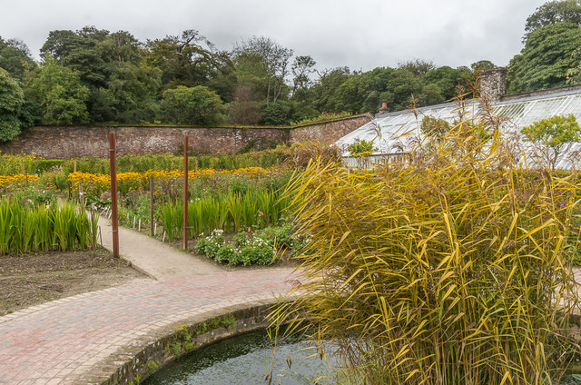
The 200-acre botanical gardens surrounding Heligan House were created and developed by members of the Tremayne family from the mid-18th century to the early 20th century, after which they fell into neglect and became completely overgrown. In 1990 the then representative of the family, John Willis, began to explore the gardens with local entrepreneur Tim Smits. The latter co-opted his builder friend John Nelson, and the two of them led what has since been recognised as Europe's largest garden restoration project, documented in a six-part Channel 4 TV series in 1996 and Smits' book 'The Lost Gardens of Heligan' (1997). The gardens are now leased from the Tremayne Estate by a company owned by their restorers, who continue to cultivate them and operate them as a visitor attraction.
Website: Link
Wikipedia entry: Link
 Map © Crown Copyright")
- Grid Square
- SW9946, 223 images (more nearby 🔍)
- Photographer
- Ian Capper (more nearby)
- Date Taken
- Friday, 22 September, 2017 (more nearby)
- Submitted
- Saturday, 27 January, 2018
- Subject Location
-
OSGB36:
 SW 998 465 [100m precision]
WGS84: 50:17.0790N 4:48.6228W - Camera Location
-
OSGB36: SW 998 465
- View Direction
- East-northeast (about 67 degrees)