2017
NZ4057 : The River Wear in Sunderland
taken 7 years ago, near to Sunderland, England
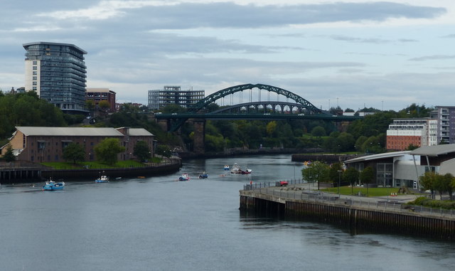
The River Wear in Sunderland
The River Wear flows generally eastward from its source in the Northern Pennines to its mouth at Sunderland. It is 60 miles long. Major settlements on the river are Durham and Sunderland.
Wikipedia: Link
See other images of River Wear
Wikipedia: Link
See other images of River Wear
 Map © Crown Copyright")
TIP: Click the map for more Large scale mapping
- Grid Square
- NZ4057, 292 images (more nearby 🔍)
- Photographer
- Mat Fascione (more nearby)
- Date Taken
- Sunday, 27 August, 2017 (more nearby)
- Submitted
- Sunday, 4 February, 2018
- Subject Location
-
OSGB36:
 NZ 402 574 [100m precision]
WGS84: 54:54.6303N 1:22.4141W - Camera Location
-
OSGB36: NZ 406 576
- View Direction
- West-southwest (about 247 degrees)