2017
G9076 : Donegal Bay, The Southern End of Ballyboyle Island
taken 7 years ago, 3 km from Donegal, Co Donegal, Ireland
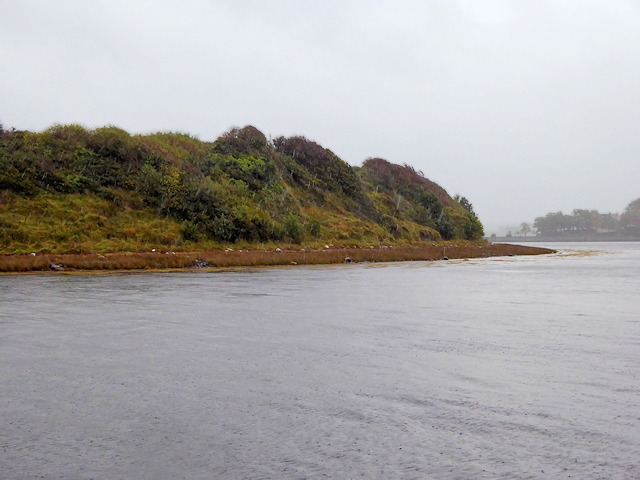
Donegal Bay, The Southern End of Ballyboyle Island
Ballyboyle Island gets its name from the Clan of the OBoyles who were sub-chieftains of the ODonnell Clan from Donegal Castle.
Loading map... (JavaScript required)
- Grid Square
- G9076, 23 images (more nearby 🔍)
- Photographer
- David Dixon (more nearby)
- Date Taken
- Wednesday, 27 September, 2017 (more nearby)
- Submitted
- Tuesday, 6 February, 2018
- Subject Location
-
Irish:
 G 908 765 [100m precision]
WGS84: 54:38.2170N 8:8.5655W - Camera Location
-
Irish: G 907 766
- View Direction
- South-southeast (about 157 degrees)