2018
TA2021 : The Outstray
taken 6 years ago, 4 km SSW of Ryehill, East Riding of Yorkshire, England
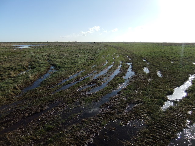
The Outstray
 Map © Crown Copyright")
TIP: Click the map for more Large scale mapping
- Grid Square
- TA2021, 8 images (more nearby 🔍)
- Photographer
- David Brown (more nearby)
- Date Taken
- Wednesday, 7 February, 2018 (more nearby)
- Submitted
- Wednesday, 7 February, 2018
- Subject Location
-
OSGB36:
 TA 2092 2170 [10m precision]
WGS84: 53:40.6670N 0:10.2500W - Camera Location
-
OSGB36: TA 2097 2199
- View Direction
- SOUTH (about 180 degrees)