2018
SX0180 : Lane to China Down
taken 6 years ago, near to Port Gaverne, Cornwall, England
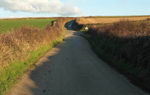
Lane to China Down
A more distant view of the junction shown in SX0180 : Junction on the Road from Port Gaverne, from where footpath 537 10/4 turns off to the left.
 Map © Crown Copyright")
TIP: Click the map for more Large scale mapping
- Grid Square
- SX0180, 11 images (more nearby 🔍)
- Photographer
- Derek Harper (more nearby)
- Date Taken
- Monday, 5 February, 2018 (more nearby)
- Submitted
- Wednesday, 7 February, 2018
- Subject Location
-
OSGB36:
 SX 0176 8090 [10m precision]
WGS84: 50:35.6448N 4:48.1369W - Camera Location
-
OSGB36: SX 0164 8089
- View Direction
- EAST (about 90 degrees)