2018
TF4284 : Gayton le Marsh: aerial 2018
taken 6 years ago, near to Gayton le Marsh, Lincolnshire, England
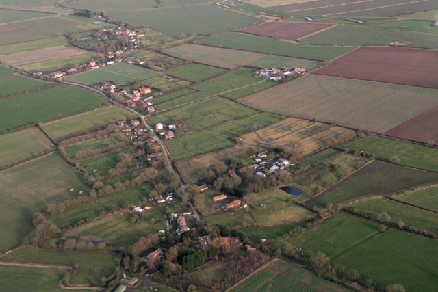
Gayton le Marsh: aerial 2018
 Map © Crown Copyright")
TIP: Click the map for more Large scale mapping
- Grid Square
- TF4284, 38 images (more nearby 🔍)
- Photographer
- Chris (more nearby)
- Date Taken
- Wednesday, 7 February, 2018 (more nearby)
- Submitted
- Wednesday, 7 February, 2018
- Subject Location
-
OSGB36:
 TF 427 843 [100m precision]
WGS84: 53:20.2133N 0:8.5551E - Camera Location
-
OSGB36: TF 417 837
- View Direction
- East-northeast (about 67 degrees)