2018
SJ8462 : Entrance to Astbury Mere Visitor Centre
taken 6 years ago, near to Astbury, Cheshire East, England
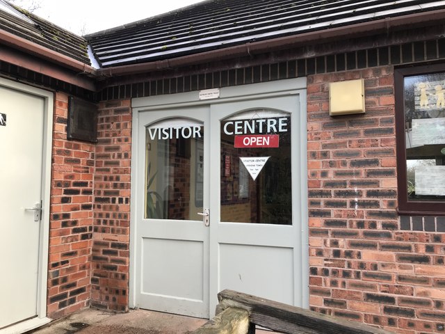
Entrance to Astbury Mere Visitor Centre
The mere is a flooded sand pit on the southern outskirts of Congleton, formerly known as Windy Bank Quarry. Quarrying of silica sand continued from the 1930s to 1984, after which it became a community-run leisure amenity. There is a 1.6km (1 mile) path around its perimeter, car parks at north and south sides, and an outdoor sports centre. See the website astburymerecountrypark.uk for a more detailed history.
See other images of Astbury Mere Country Park
See other images of Astbury Mere Country Park
 Map © Crown Copyright")
TIP: Click the map for more Large scale mapping
- Grid Square
- SJ8462, 47 images (more nearby 🔍)
- Photographer
- Jonathan Hutchins (more nearby)
- Date Taken
- Saturday, 6 January, 2018 (more nearby)
- Submitted
- Friday, 9 February, 2018
- Subject Location
-
OSGB36:
 SJ 8459 6272 [10m precision]
WGS84: 53:9.6827N 2:13.9158W - Camera Location
-
OSGB36: SJ 8459 6272
- View Direction
- East-northeast (about 67 degrees)