2018
TL3922 : Standon from the air
taken 6 years ago, near to Standon, Hertfordshire, England
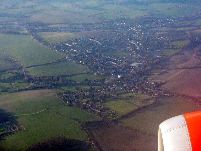
Standon from the air
Surrounded by farmland.
 Map © Crown Copyright")
TIP: Click the map for more Large scale mapping
- Grid Square
- TL3922, 54 images (more nearby 🔍)
- Photographer
- M J Richardson (more nearby)
- Date Taken
- Tuesday, 6 February, 2018 (more nearby)
- Submitted
- Monday, 19 February, 2018
- Subject Location
-
OSGB36:
 TL 399 223 [100m precision]
WGS84: 51:52.9031N 0:1.8684E - Camera Location
-
OSGB36: TL 417 214
- View Direction
- West-northwest (about 292 degrees)