2007
SJ5364 : Chester 1996 boundary stone near Oak Tree Farm, Wood Lane
taken 17 years ago, near to Clotton, Cheshire West And Chester, England
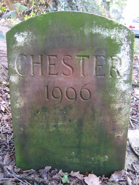
Chester 1996 boundary stone near Oak Tree Farm, Wood Lane
This fairly modern Chester 1996 boundary stone is on the grass verge on the south side of Wood Lane, opposite Oak Tree Farm. See also SJ5364 : Wood Lane and a boundary stone
 Map © Crown Copyright")
TIP: Click the map for more Large scale mapping
- Grid Square
- SJ5364, 10 images (more nearby 🔍)
- Photographer
- John S Turner (more nearby)
- Date Taken
- Tuesday, 6 February, 2007 (more nearby)
- Submitted
- Tuesday, 20 February, 2018
- Subject Location
-
OSGB36:
 SJ 5338 6496 [10m precision]
WGS84: 53:10.7812N 2:41.9410W - Camera Location
-
OSGB36: SJ 5338 6496
- View Direction
- West-northwest (about 292 degrees)