2018
SD7217 : Track from Entwistle to Entwistle Reservoir
taken 6 years ago, near to Edgworth, Blackburn With Darwen, England
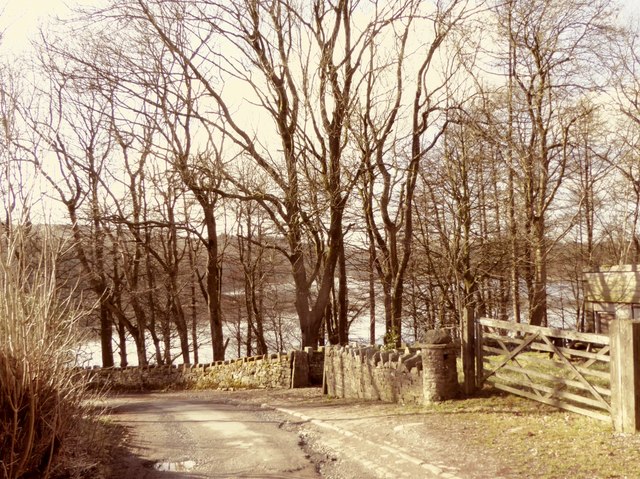
Track from Entwistle to Entwistle Reservoir
A view of the reservoir that will be obscured by foliage later in the year.
 Map © Crown Copyright")
TIP: Click the map for more Large scale mapping
- Grid Square
- SD7217, 128 images (more nearby 🔍)
- Photographer
- philandju (more nearby)
- Date Taken
- Wednesday, 21 February, 2018 (more nearby)
- Submitted
- Wednesday, 21 February, 2018
- Subject Location
-
OSGB36:
 SD 7251 1750 [10m precision]
WGS84: 53:39.1961N 2:25.0436W - Camera Location
-
OSGB36: SD 7255 1751
- View Direction
- West-southwest (about 247 degrees)