2017
SO4194 : Long Mynd landscape
taken 6 years ago, 3 km from Ratlinghope, Shropshire, England
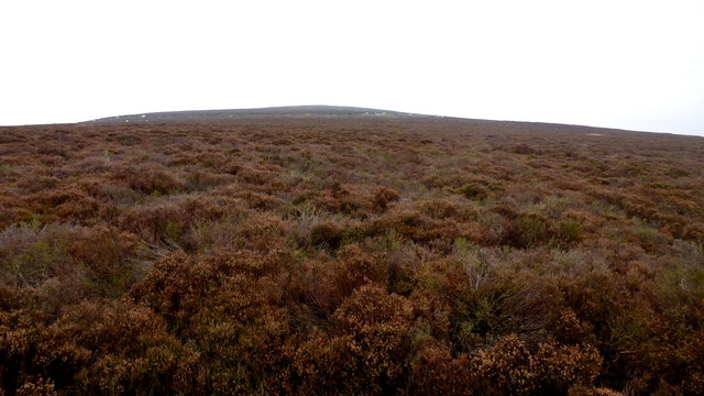
Long Mynd landscape
Looking towards the low dome of Pole Bank, the highest point of the Long Mynd.
 Map © Crown Copyright")
TIP: Click the map for more Large scale mapping
- Grid Square
- SO4194, 85 images (more nearby 🔍)
- Photographer
- Jonathan Billinger (more nearby)
- Date Taken
- Friday, 3 November, 2017 (more nearby)
- Submitted
- Thursday, 22 February, 2018
- Subject Location
-
OSGB36:
 SO 4125 9411 [10m precision]
WGS84: 52:32.4996N 2:52.0615W - Camera Location
-
OSGB36: SO 4118 9401
- View Direction
- Northeast (about 45 degrees)