2006
TQ2125 : Bridleway and footpath junction
taken 18 years ago, near to Crabtree, West Sussex, England
This is 1 of 2 images, with title Bridleway and footpath junction in this square
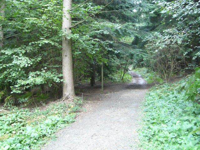
Bridleway and footpath junction
The bridleway runs south from Newells rough, the footpath to the left (west) emerges on Park Lane near Twisted Cottage.
 Map © Crown Copyright")
TIP: Click the map for more Large scale mapping
- Grid Square
- TQ2125, 96 images (more nearby 🔍)
- Photographer
- Peter Cox (more nearby)
- Date Taken
- Wednesday, 27 September, 2006 (more nearby)
- Submitted
- Saturday, 29 September, 2007
- Subject Location
-
OSGB36:
 TQ 2121 2520 [10m precision]
WGS84: 51:0.8050N 0:16.4092W - Camera Location
-
OSGB36: TQ 2121 2520
- View Direction
- North-northeast (about 22 degrees)