NY4155 : Former "Petteril Bridge Inn" - February 2018 (1)
taken 6 years ago, near to Carlisle, Cumbria, England
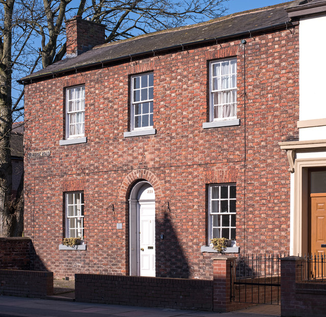
See also: NY4155 : Former "Petteril Bridge Inn" - February 2018 (2) .
To supply munitions for the Great War, a huge complex was constructed north of Carlisle. Starting in the autumn of 1915, some 10-12,000 navvies built a glycerine plant at Dornock between Eastriggs and Annan, while a distilled ether plant was erected between Mossband and Longtown. Eventually stretching some 7 miles long by 2 miles deep with 17 miles of perimeter fencing, at its peak it employed some 20,000 people mainly women but with a considerable number of male construction workers.
Unfortunately, the influx of navvies gave rise to serious drunkenness problems in the City of Carlisle. While Carlisle had some 120 licensed premises in 1916, many were small, one-roomed affairs which simply could not cope with the crowds. Also, the local Constabulary were greatly pressed, with 953 convictions for drunkenness in 1916 (compared with 250 in 1914/15). In addition, there was concern a tired and emotional worker could accidentally reduce the area to a very large hole in the ground!
The Governments answer was to nationalise all the pubs and breweries in Carlisle, a process begun in July 1916 and which quickly extended out to Longtown in the east and Maryport in the south-west. Pubs around Gretna and Eastriggs were also included. All were under the control of a local Board, based at 19 Castle Street, Carlisle (now a bookshop), which imposed strict opening hours, a maximum (and very low) alcoholic content for beer and spirits, and a ban on treating (buying a round for your mates).
Many old or inadequate pubs were quickly closed. But the scheme did not end with the cessation of hostilities on 11 November 1918, with the last pub the White Swan in Wigton only being acquired in January 1921. Indeed, Government control of these pubs and breweries continued until 1971, with return to private ownership not completed until 1973.
As the Scottish pubs soon moved to the control of a local Board, this Shared Description is intended to cover only the pubs and breweries purchased by the Scheme in what is now north-west Cumbria, or built in the years 1916-1971 or what may now be found on the site (if anything). Many have closed some have been demolished and some are under new developments or even roads! But there is one excellent book on the subject The Carlisle State Management Scheme by the late Olive Seabury (Bookcase 2007 currently out of print), while Carlisle Breweries and Public Houses 1894-1916 by Steven Davidson (P3 Publications 2004 also out of print) is a very useful starting point. Also, the web sites: The State Management Story Link(not regularly updated) and Wikipedia at: Link
 Map © Crown Copyright")
- Grid Square
- NY4155, 117 images (more nearby 🔍)
- Photographer
- The Carlisle Kid (more nearby)
- Date Taken
- Sunday, 25 February, 2018 (more nearby)
- Submitted
- Monday, 26 February, 2018
- Subject Location
-
OSGB36:
 NY 413 559 [100m precision]
WGS84: 54:53.6682N 2:54.9303W - Camera Location
-
OSGB36: NY 413 558
- View Direction
- North-northwest (about 337 degrees)