2017
SX4753 : Flags, The Hoe
taken 6 years ago, near to Plymouth, England
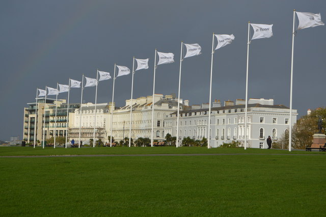
Flags, The Hoe
Plymouth Hoe, referred to locally as the Hoe or Hoe park is a large south facing open public space in Plymouth. The Hoe is adjacent to and above the low limestone cliffs that form the seafront and it commands views of Plymouth Sound, Drake's Island, and across the Hamoaze to Mount Edgcumbe in Cornwall. The name derives from the Anglo-Saxon word Hoe, a sloping ridge shaped like an inverted foot and heel.
Wikipedia: Link
See other images of The Hoe
Wikipedia: Link
See other images of The Hoe
 Map © Crown Copyright")
TIP: Click the map for more Large scale mapping
- Grid Square
- SX4753, 1393 images (more nearby 🔍)
- Photographer
- N Chadwick (more nearby)
- Date Taken
- Saturday, 21 October, 2017 (more nearby)
- Submitted
- Monday, 26 February, 2018
- Subject Location
-
OSGB36:
 SX 4770 5386 [10m precision]
WGS84: 50:21.8931N 4:8.5642W - Camera Location
-
OSGB36: SX 4779 5383
- View Direction
- West-northwest (about 292 degrees)