2013
SK2602 : River Anker in Polesworth, Warwickshire
taken 11 years ago, near to Polesworth, Warwickshire, England
This is 1 of 2 images, with title River Anker in Polesworth, Warwickshire in this square
River Anker in Polesworth, Warwickshire
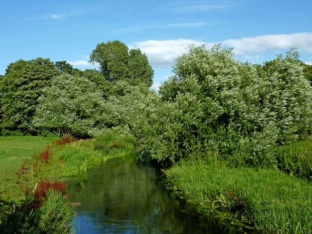
This is the River Anker in Abbey Green Park, Polesworth, looking east (upstream) from the footbridge.
The River Anker
The River Anker is a tributary of the River Tame, which it joins near the castle in Tamworth.
The River Anker rises south-east of Wolvey, and flows north-west past Bramcote, and through Nuneaton, where it has caused serious flooding on many occasions. It continues north-west, passing by Atherstone to the north, then on to Polesworth.
North-west of Polesworth, the river widens into several large shallow lakes, caused by mining subsidence. Most notable are seen in the nature reserve at Alvecote Pools, a Site of Special Scientific Interest (SSSI). From here the river meanders westwards its confluence with the River Tame in Tamworth.
The River Anker is 31 miles (50km) in length.
 Map © Crown Copyright")
TIP: Click the map for more Large scale mapping
- Grid Square
- SK2602, 136 images (more nearby 🔍)
- Photographer
- Roger D Kidd (more nearby)
- Date Taken
- Sunday, 18 August, 2013 (more nearby)
- Submitted
- Thursday, 15 March, 2018
- Subject Location
-
OSGB36:
 SK 2622 0232 [10m precision]
WGS84: 52:37.0813N 1:36.8493W - Camera Location
-
OSGB36: SK 2616 0230
- View Direction
- East-northeast (about 67 degrees)