2017
NH7832 : Northbound A9, Bus Stop at Dalmagarry
taken 7 years ago, near to Moy, Highland, Scotland
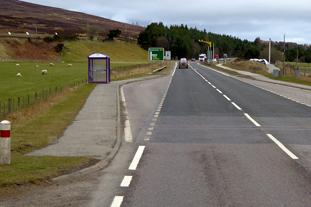
Northbound A9, Bus Stop at Dalmagarry
The A9 is a strategic link between the Highlands of Scotland and the Central Belt. Running for 273 miles, it is the longest road in Scotland and the fifth-longest A-road in the United Kingdom. Historically it was the main road between Edinburgh and John o' Groats but its importance has been eclipsed somewhat in the south by the A90 across the Forth Road Bridge and the M90 motorway, which now links Edinburgh more directly with Perth, and the M9, which is now the main road between Edinburgh and Bridge of Allan.
See other images of The A9
See other images of The A9
 Map © Crown Copyright")
TIP: Click the map for more Large scale mapping
- Grid Square
- NH7832, 44 images (more nearby 🔍)
- Photographer
- David Dixon (more nearby)
- Date Taken
- Thursday, 6 April, 2017 (more nearby)
- Submitted
- Friday, 16 March, 2018
- Subject Location
-
OSGB36:
 NH 786 322 [100m precision]
WGS84: 57:21.8806N 4:1.1482W - Camera Location
-
OSGB36: NH 786 322
- View Direction
- Northwest (about 315 degrees)