2018
NY6942 : Spoil heap from Rotherhope Fell Mine
taken 6 years ago, near to Leadgate, Cumbria, England
This is 1 of 2 images, with title Spoil heap from Rotherhope Fell Mine in this square
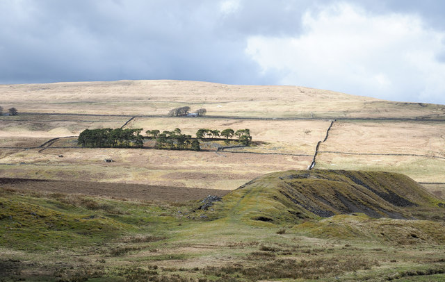
Spoil heap from Rotherhope Fell Mine
The spoil heap here is from the Middle Level entrance. The mine's main entrance was the Blackburn Level which is in the valley of the Black Burn, in the dip between the shadowed foreground and the sunlit hill beyond.
 Map © Crown Copyright")
TIP: Click the map for more Large scale mapping
- Grid Square
- NY6942, 6 images (more nearby 🔍)
- Photographer
- Trevor Littlewood (more nearby)
- Date Taken
- Sunday, 25 March, 2018 (more nearby)
- Submitted
- Monday, 26 March, 2018
- Subject Location
-
OSGB36:
 NY 696 422 [100m precision]
WGS84: 54:46.4437N 2:28.3989W - Camera Location
-
OSGB36: NY 697 420
- View Direction
- North-northwest (about 337 degrees)