2018
SO9677 : Drive leading to Barnes Close
taken 6 years ago, near to Rubery, Worcestershire, England
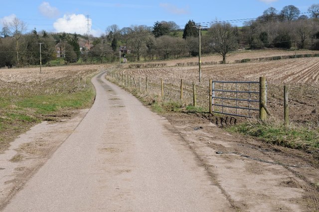
Drive leading to Barnes Close
Drive to Barnes Close a Community for Reconciliation, viewed from its entrance below the M5 motorway.
 Map © Crown Copyright")
TIP: Click the map for more Large scale mapping
- Grid Square
- SO9677, 33 images (more nearby 🔍)
- Photographer
- Philip Halling (more nearby)
- Date Taken
- Sunday, 25 March, 2018 (more nearby)
- Submitted
- Friday, 30 March, 2018
- Subject Location
-
OSGB36:
 SO 9665 7707 [10m precision]
WGS84: 52:23.4985N 2:3.0391W - Camera Location
-
OSGB36: SO 9663 7701
- View Direction
- North-northeast (about 22 degrees)