2017
SU5088 : New link road
taken 6 years ago, near to West Hagbourne, Oxfordshire, England
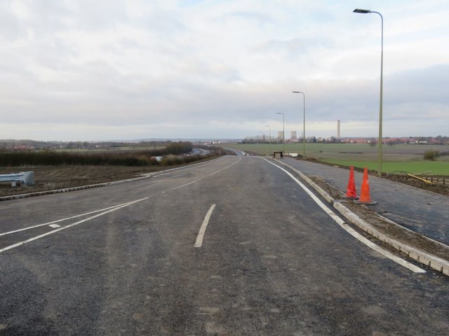
New link road
The new link road from Didcot to Harwell which runs alongside the A34
 Map © Crown Copyright")
TIP: Click the map for more Large scale mapping
- Grid Square
- SU5088, 46 images (more nearby 🔍)
- Photographer
- Bill Nicholls (more nearby)
- Date Taken
- Saturday, 16 December, 2017 (more nearby)
- Submitted
- Thursday, 5 April, 2018
- Subject Location
-
OSGB36:
 SU 5006 8833 [10m precision]
WGS84: 51:35.4962N 1:16.7262W - Camera Location
-
OSGB36: SU 5005 8828
- View Direction
- North-northeast (about 22 degrees)